Introduction to Points and Lines in the Plane
Learning Objectives
By the end of this section, you will be able to:- Plot ordered pairs in a Cartesian coordinate system.
- Graph equations by plotting points.
- Graph equations with a graphing utility.
- Find [latex]x[/latex] -intercepts and [latex]y[/latex] -intercepts.
- Use the distance formula.
- Use the midpoint formula.
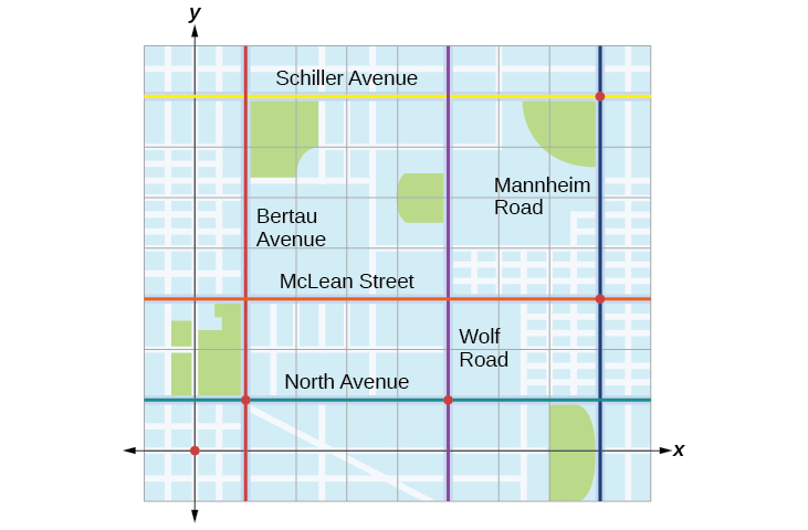 Figure 1
Licenses & Attributions
CC licensed content, Original
- Revision and Adaptation. Provided by: Lumen Learning License: CC BY: Attribution.
CC licensed content, Shared previously
- College Algebra. Provided by: OpenStax Authored by: Abramson, Jay et al.. Located at: https://openstax.org/books/college-algebra/pages/1-introduction-to-prerequisites. License: CC BY: Attribution. License terms: Download for free at http://cnx.org/contents/[email protected].
